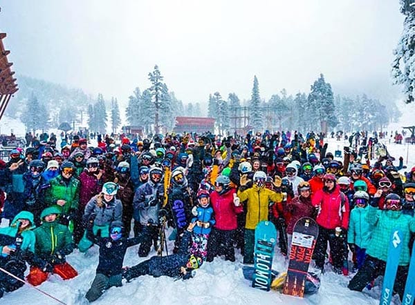
After quite a dry November in much of North America the snow is starting to arrive now we're in December. California has been enjoying 20-30cm of snowfall bringing an end to a warm dry patch and with a snowy weekend ahead, things are looking up. It's not just the west coast USA that's looking good, East coast resorts can mostly expect moderate but regular snowfall in the coming weeks.
Things are shaping up great for the 19/20 season.
Over the past 12 months, our Snow-Forecast.com team has been hard at work making significant enhancements to our app, member benefits and website features. This season you'll be able to stay even closer to the mountain weather information that matters most to you.
Whatever your plans for the season ahead, let us keep you in the know about the snow.
We're delighted to release our all new Snow Report page. You'll find them cleaner, easier to understand and packed with enhanced data, to allow you to have memorable snow days in the best locations.
New features
•
Snow conditions stats by week/month/season - How many bluebird days did your favourite resort have?
•
Fresh + significant snowfall information
•
Snow accumulation graphs, updated daily
•
Improved layout
•
Links to our most popular feature, snow accummulation maps
Our snow report pages give you an unrivalled overview of the snow conditions in every ski resort in the world. No other snow forecasting service gives you all this.
BBC Snowboarding correspondent Ed Leigh talks about finding Early Bird Deals.
"Ski resorts open at different times during December, mostly on 7th or 14th, though some high-altitude resorts opened during weekends in November. For example, Val Thorens on 23rd November, Alpe d'Huez and Les 2 Alpes on 30th November."
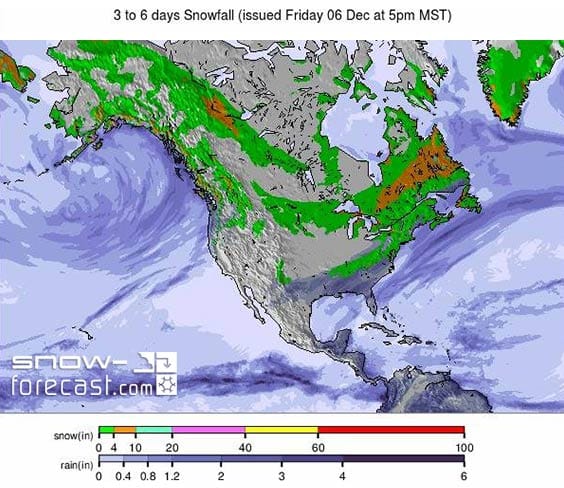
Snow Overview.
The trend for heavy snowfall in the pacific northwest, following the mostly dry November in the region, now appears to be 'locked in' for the next week or so at least with another metre on the way for some ski areas along the Pacific Coast from lake Tahoe north, The heaviest snow should arrive later this week after a few day's lull.
Elsewhere in the US, there should be more snow too for most areas, but more like 20-50cm over the coming 7 days. It's looking increasingly snowy over the Canadian border with the country's east and west coasts set to see the biggest falls â€" potentially more than 60cm over the next 7 days for a resort like Whistler on the BC Coast (and fresh snow but progressively less further inland). Then more like 10-30cm over on the Quebec side in the East.
Fill your pocket with snow! Download our free iOS and Android apps
You're receiving this newsletter because you've previously signed up via our website or subscribed to snowmails. We value your privacy and whilst we hope you enjoy receiving our updates, you can unsubscribe at any time and we'll not bother you again.


No comments:
Post a Comment